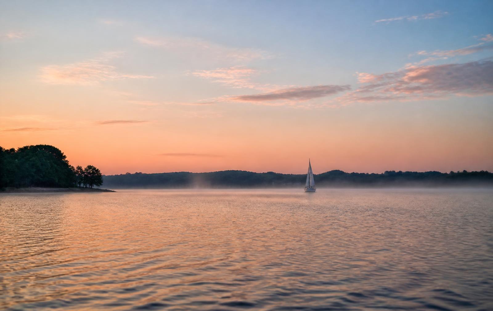
Lake Norman, understood properly.
520 miles of shoreline, 32 miles end to end, and a dozen distinct personalities. Here is how the lake actually lives.
Lake Norman, understood…
Lake Norman is the largest man-made body of fresh water in North Carolina — created in 1963 when Duke Power impounded the Catawba River behind Cowans Ford Dam. What that history means in practice is a lake with old river channels running through it: deep, navigable water in some coves and shallow shelves in others.
For anyone buying or building on the water, that distinction is everything. The Point occupies a peninsula where the old channel runs close to shore, which is why so much of its frontage holds usable depth year-round.
Water depth, coves, and why it matters.
Duke Energy manages lake levels within a normal operating band, and seasonal drawdown of a few feet is routine. A cove that floats a wake boat in June may not in late winter.
- Ask for measured depth at the dock, not the shoreline
- Check depth at full pond and at seasonal low
- Understand cove orientation — wind, chop, and afternoon sun
- Confirm dock permitting under Duke Energy shoreline management
- Look at boat traffic patterns before you commit to a slip
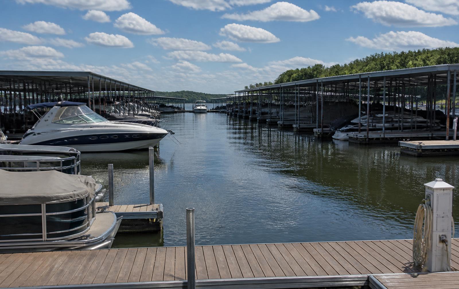
Boating, marinas, and the main channel.
The lake supports everything from paddle craft to large cruisers. Full-service marinas, fuel, dry storage, and service yards are distributed around the shoreline, with several within a short run of The Point’s peninsula.
Waterfront dining, sandbars, and open-water stretches make the lake a genuine destination in summer. Off-season, the same water empties out and turns quiet.
The seasons on the water.
Spring arrives early and the dogwoods come with it. Summer is warm and long — the lake becomes the living room. Fall is the connoisseur’s season: clear light, empty water, and golf at its best. Winter is mild by northern standards, with occasional cold snaps and rare snow.
The towns around the lake.
Mooresville anchors the northeast shore, with Davidson and Cornelius to the south, Denver and Sherrills Ford on the west side, and Statesville to the north. Uptown Charlotte and Charlotte Douglas International Airport are a straightforward drive down I-77.
Each town has its own character — historic downtown, motorsport industry, college-town walkability, or quiet rural shoreline — and each carries a different price and pace. For a town-by-town look across the whole reservoir, this Lake Norman living guide covers Cornelius, Davidson, Mooresville, Huntersville, and Denver in more detail than we do here.
Answers, before you ask.
How big is Lake Norman?
Roughly 32 miles long with more than 520 miles of shoreline and about 32,500 acres of surface area, making it the largest man-made lake in North Carolina.
Who manages the lake and its shoreline?
Duke Energy operates the reservoir and administers shoreline management, including permitting for docks and shoreline structures. Requirements and approvals come directly from Duke Energy, not from this site.
Does the water level change?
Yes. Levels fluctuate seasonally within a normal operating band, and drawdown of a few feet is common. Always verify usable depth at both full pond and seasonal low before relying on it.
Where is The Point on Lake Norman?
The Point occupies a large peninsula on the Mooresville side of the lake in Iredell County, with several miles of shoreline and deep-water frontage along old river channel areas.
How far is Lake Norman from Charlotte?
Most of the lake sits roughly 25 to 45 minutes north of uptown Charlotte via I-77, depending on the shoreline and time of day.